AzerGold continues geological investigations in eastern Zangazur
13.03.2023
13:20
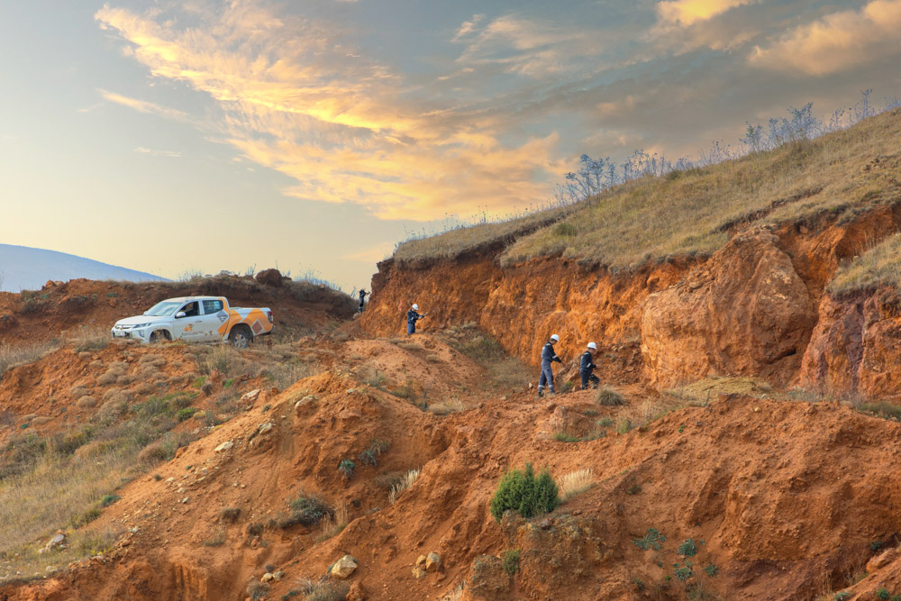
The geological exploration group of AzerGold CJSC has completed the first phase of geological survey at Tutkhun with a total area of 85.56 square kilometers, located in the Kalbajar district, Eastern Zangazur Economic Region of Azerbaijan. From June through December 2022, the Company conducted research-exploration works on an area of 8.29 square kilometers (including Bashlibel-Khanlanli, Orujlu-Aghyatag-Chorman) cleared of mines and unexploded ordnance by the Azerbaijan National Agency for Mine Action (ANAMA). The test samples were sent to the international laboratory for analysis to determine their elemental composition.
However, the geological exploration at Tutkhun deposit cannot continue at a rapid pace because during the 30-year period of occupation, Armenia set up countless mines on the territory. The negotiations on submission of minefield maps are being delayed due to Armenia's destructive position on this issue. Thus, prospecting and exploration work is carried out only in areas cleared of mines. Another 45.5 square kilometers of the area will be cleared of mines by ANAMA and handed over to the use of the geological staff of AzerGold CJSC with the view to continue field research in 2023.
AzerGold CJSC uses innovative methods of exploration to compensate the loss of time required for the de-mining process. Thus, non-invasive hyperspectral satellite imaging has been applied at 1,624 square kilometers area covering not only Kalbajar but also a part of the Lachin district for the first time in the Caucasus. Moreover, this process is underway throughout the current year.
Tutkhun is located on the territory of Kalbajar district, on the basin of the Tutkhun river, the right tributary of the Tartarchay. According to the study and digitalization of geological data of 1958-1960, the area is estimated to have gold, silver reserves, and industrially important copper metallization.