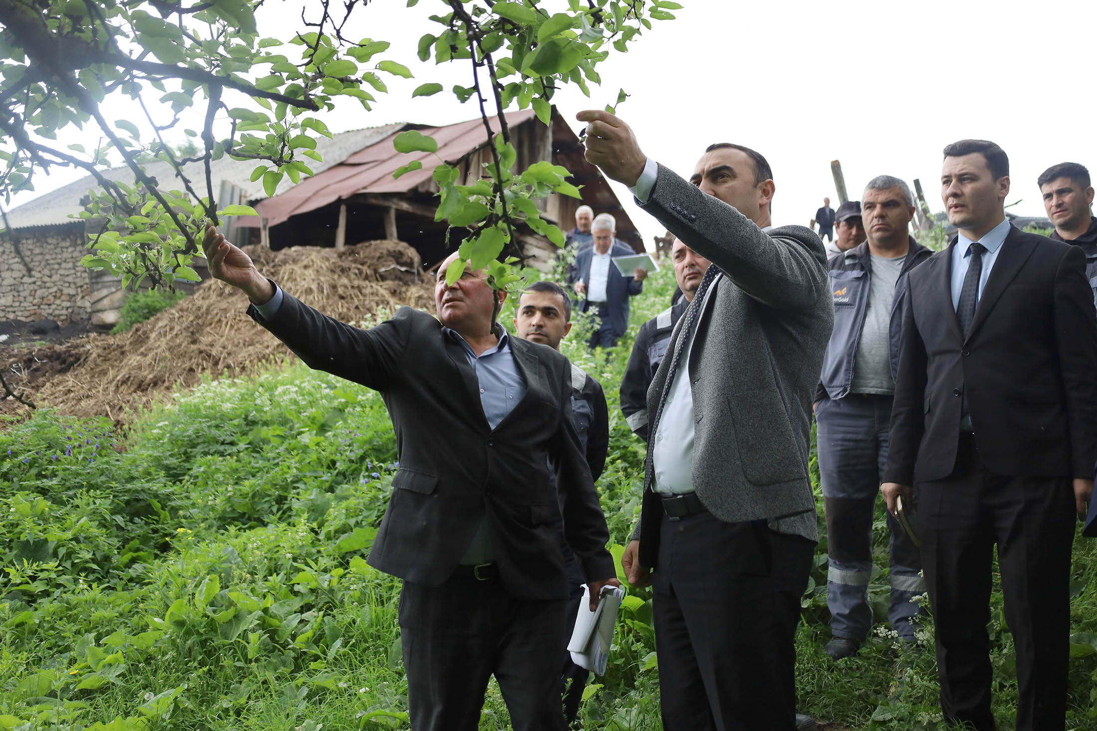
Active surface geological works are underway in Kalbajar
10.10.2022
15:18
“AzerGold” Closed Joint Stock Company continues its activity under the action plan towards the implementation of “State Program on geological study of subsurface layer and efficient use of mineral raw material base for 2020-2024 years” approved upon the Decree no 1941 dated March 16, 2020 by the President of the Republic of Azerbaijan.
Thus, within the framework of the named action plan the Ministry of Ecology and Natural Resources and Azergold CJSC have been put in charge for geological-research works at preciuos and non-ferrous metal prospects in central and south part of Earstern Zangazur and Karabakh economic zones. Upon that, geological exploration group of the Company has launched phasic research works at Tutkhun metal prospecting area since June. In accordance with the exploration programs developed by the Company for 2022-2025 years, geological staff commenced research-exploration works at Bashlibel-Khanlanli, Orujlu-Aghyatag-Chorman fields, which have been cleared from mines and unexploded ordnances. Thus, for the first time in the Caucasus non-invasive hyperspectral satellite imaging, which is one of the relatively new methods of progressive surveying, has been applied at 1624 km2 area covering Kalbajar and Lachin districts. With the view of complex exploration works at Tutkhun basin, necessary actions are being taken by relevant public agencies towards clearance of the named area from mines and unexploded ordnances.
It is worth noting that, Tutkhun is located in the territory of Kalbajar district, on the basin of the Tutkhun river, the right tributary of the Tartarchay. According to the study and digitalization of geological data of 1958-1960, the area is estimated to have gold, silver reserves and industrially important copper metallization.